Translate this page:
| Pincode | 796310 |
| Name | Rullam B.O |
| District | Champhai |
| State | Mizoram |
| Status | Branch Office(Delivery) |
| Head Office | Aizawl H.O |
| Sub Office | Khawzawl S.O |
| Location | Khawzawl Taluk of Champhai District |
| Telephone No | Not Available |
| SPCC | AIZAWL-796001 |
| Department Info | Mizoram Division North Eastern Region North Eastern Circle |
| Address | Rullam, Mizoram 796310, India |
| Services | |
| Indian Postal Code System Consists of Six digits. The first to digits represent the state, the second two digits represent the district and the Third two digits represents the Post Office.In this case the first two digits 79 represents the state Mizoram, the second two digits 63 represent the district Champhai, and finally 10 represents the Post Office Rullam B.O. Thus the Zip Code of Rullam B.O, Champhai, mizoram is 796310 | |

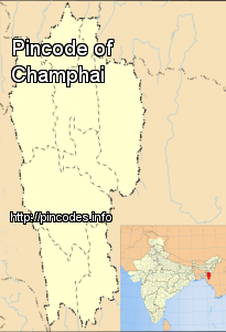
Champhai (Pron:/tʃamˈpʰaɪ/) is a border town in Mizoram state, in far eastern India. It is the headquarters of Champhai district, one of the eight districts in the state. It is located on the Indo-Myanmar border and is situated in a strategically important location. Because of this, it is the main business corridor for India and Myanmar in the area.
The area of Champhai is 3,185.83 square kilometres (1,230 sq mi). The average annual rainfall is 1,814 millimetres (71.4 in).
Champhai was the headquarters of Lalbura Sailo, a Mizo Chief against whom the British Expedition of 1871-72 was directed. It was accorded the status of a fort during the British period.
The economy of Champhai is mainly on agricultural. It has a flatland measuring 113 kilometers long and 48 kilometers in width for wet rice cultivation which can produce 19,200 quintals of rice per yeaMore Info